Aurichalcite
Aurichalcite is a carbonate mineral, usually found as a secondary mineral in copper and zinc deposits. Its chemical formula is (Zn,Cu)5(CO3)2(OH)6. The zinc to copper ratio is about 5:4.[2]
Aurichalcite displays prismatic crystals often in the form of encrustations and sometimes columnar structures.[4] The crystal system is monoclinic.
Aurichalcite typically occurs in the oxidized zone of copper and zinc deposits. Associated minerals include: rosasite, smithsonite, hemimorphite, hydrozincite, malachite and azurite.[1]
It was first described in 1839 by Bottger who named the mineral for its zinc and copper content after the Greek όρειχαλκος, for "mountain brass" or "mountain copper", the name of a fabulous metal. The type locality is the Loktevskoye Mine, Upper Loktevka River, Rudnyi Altai, Altaiskii Krai, Western Siberia, Russia.[2]
https://en.wikipedia.org/wiki/Aurichalcite
NEXT PICTURE
A mineral stone containing Aurichalcite crystals (blue color)

NEXT PICTURE
Aurichalcite crystals (blue color) removed from the mineral stone in order to develop a proper sensor for use by the MAGNOTRON MIN system for the research

NEXT PICTURE :
Left Screen shoot:
From long distance (45 km)
Middle Screen shoot: From near
distance (600 m)
Right Screen shoot:
From near distance (200 m)
10/3/2019: Screen shoot from DRAMS DNA server. Two clients (MAGNOTRON MIN detectors, ‘Kyklotron_1’ and ‘Kyklotron_2’) used from 45 Km distance (red line is a current moment direction from Kyklotron_2 detector).

10/3/2019:
Screen shoot from DRAMS MIN Locator server and two clients
(MAGNOTRON DNA detectors) from 45 Kilometers distance.
‘Kyklotron_1’ client / detector direction to the


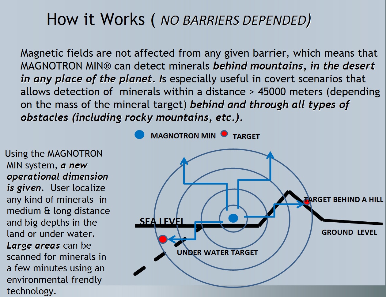
Designed to do a quick and efficient survey of any kind of minerals in distances over 45.000 meters, setting aside every similar substance. MAGNOTRON MIN uses DRAMS MIN (a 3 Level Security Bulgaria Ltd registered patent ) method to locate the target and represent the minerals location on a GIS (Geographical Information System) environment. DRAMS MIN is a fully C4ISR system, giving the ability to remotely control and monitoring in real time.

http://www.magnotron.eu/ http://www.magnotron.eu/dramsgis.html


